
Real-World Challenges in Geospatial Machine Learning
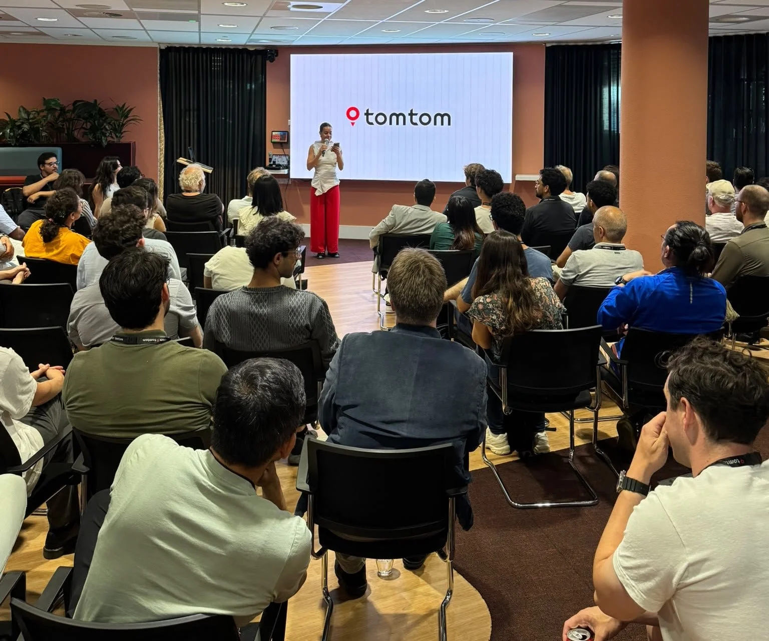
No need to put pins on a map to locate where the best tech energy was last night: all lines converged at TomTom’s Amsterdam office!📍🗺️
The room was packed with brilliant minds all focused on one brutal reality: building models on clean benchmarks is easy, but scaling geospatial ML systems in a continuously changing world is a completely different ballgame.
Here’s a quick look at the core topics we covered:
Automated Driving Systems (by Ahmed Boudissa / TomTom): We explored how billions of raw observations from satellites and sensors are turned into lane-level map products, highlighting why global production system design matters as much as model performance. How?
🔸 Foundation models are used for multiple angles of segmentation; e.g. street level images, sign identification and road edges.
🔸 Multiple sources always beat single source data streams; disagreement between sources is signal, not noise - this can be used for building confidence ranges.
🔸 Driving patterns encode road knowledge that no map spec can fully capture.
Active Learning at Production Scale (by Haris Iqbal / TomTom): We looked at a massive matching problem of 85 million candidate signs, breaking down how tree-based models and active learning can drastically reduce labeling efforts and conquer real-world edge cases. Key takeaways:
🔸 Boosted trees were picked for speed and scalability.
🔸 Three golden principles of active sampling: 1) Multiple complementary signals - single ranking is not enough; via model confidence or clustering in a feature space, 2) Stratification over geography and feature axis quotas and 3) Train/Test isolation; make sure the active sampling is not actively looking for failing test samples.
🔸 Active learning does two jobs: debug model weakness and catch what changes in the world since last release.
Geospatial Decision Support Tools (by Ioanna Micha & Mario Alberto Fuentes Monjaraz / Deltares): We examined how open standards, metadata, and community-driven tools are used behind the scenes to transform environmental data into reliable, interactive web applications. Some highlights:
🔸 PostgreSQL / PostGIS is a key tool in retrieving their vector data.
🔸 PyWPS is used to serve location data to users and commonly uses Flask as its web service framework. Don’t know it yet? Check it out: https://pywps.org
Huge thanks to TomTom for the hospitality, our 4 speakers, the great food & drinks, and for bringing the PyData Amsterdam community together!
👉 If you’re interested in joining TomTom: https://lnkd.in/em7-WwbP
👉 PS: If you didn’t grab your Early Bird Tickets for #PDAmsterdam2026 yet, do it now: https://lnkd.in/eSbMwHtu
